Hiking
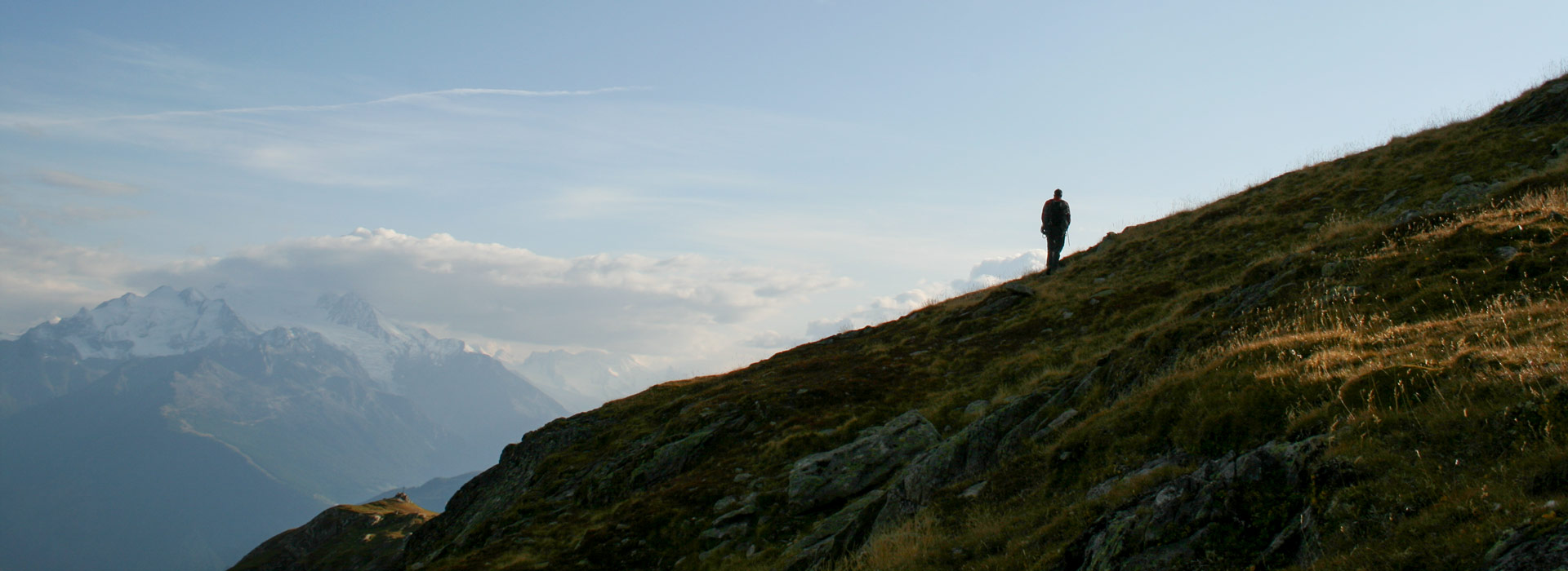
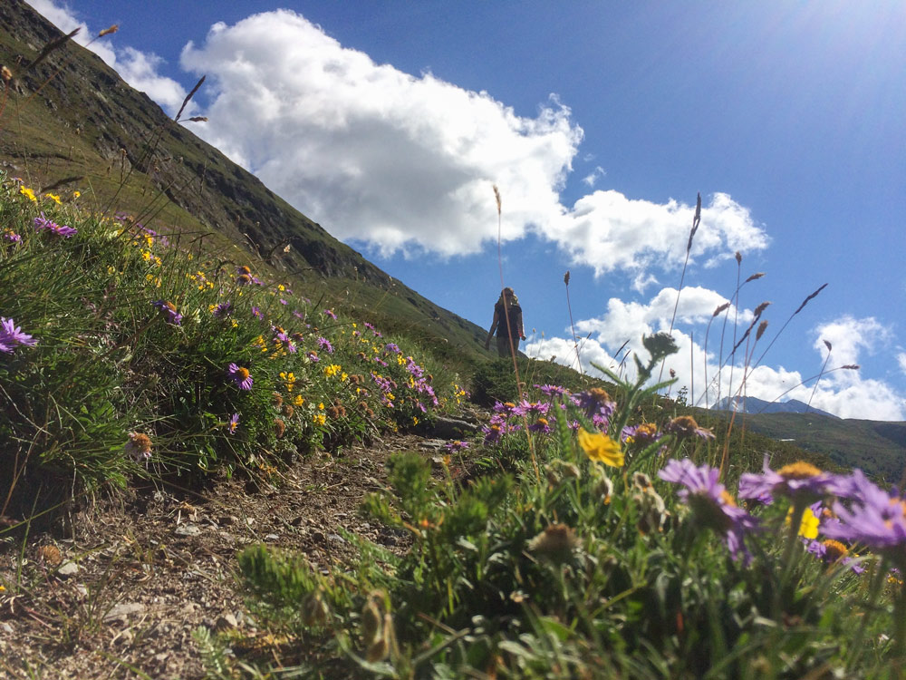
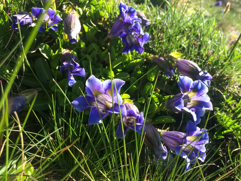
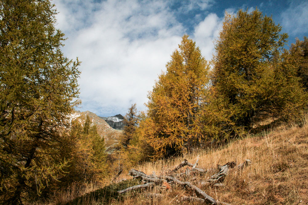
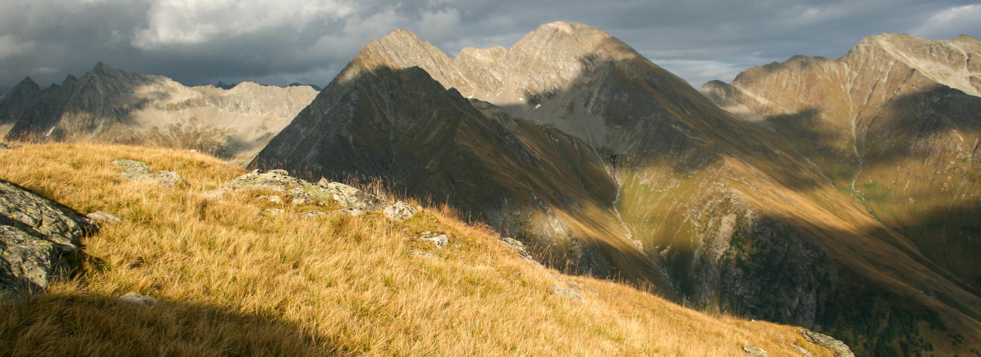
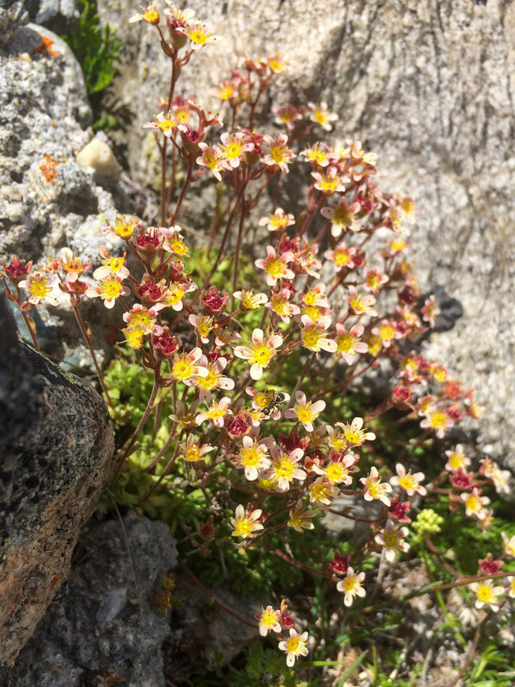
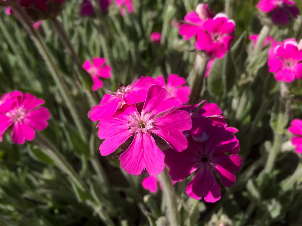
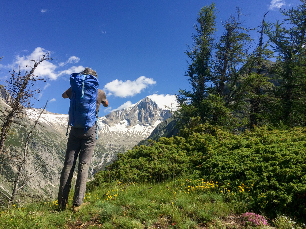
The region around the Wiwanni hut offers ideal conditions for mountain hiking. The impressive views of the Valais mountains are unique. Many places here are only accessible on foot and are rich in rare flora and fauna. And of course the hut warden’s homemade apple pie is also a worthwhile hiking destination.
The Wiwanni is part of the Bietschhorn — Aletsch UNESCO World Heritage Site.
Normal hut approach:
Fuxtritt – Wiwanni hut 1,5 hours
Variation hut approach:
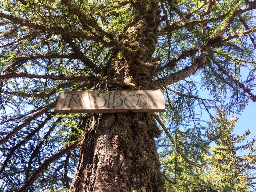
Leiggern (Leiggru) – Trosibode – Arbol – Färricha – Wiwanni hut
about 2,5 hours
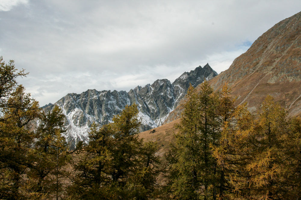
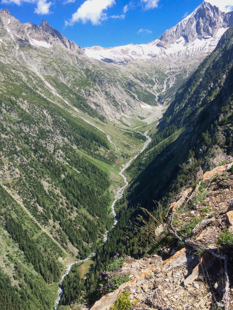
Very scenic and rewarding, with wonderful views of the Bietschhorn and very diverse flora. This route is also a very rewarding descent option after a climbing stop at the Wiwannihütte.
Sure-footedness required. Tricky in early summer with old snow below the Öugstchumma.
Direct descent to the Baltschiedertal
Fuxtritt – Raaft – Choruderi.
More demanding: Grieläger – Spirgilla – Mederbode – Raaft – Choruderi.
Hike along the Suonen Baltschiedertal
Choruderi – Niwärch – Ze Steinu – Gorperi – Eggerberg.
Niwärch (T4), trough the tunnel T2 (headlamp required).
Gorperi T3.
Details on wegwandern.ch, with the approach to the Baltschiederklause SAC.